RRRR Maps
Click on Picture or Link to open full size (Note: You may need to tell your browser to open in full size mode, to do this….)
System Maps
 RRRR_System_Map_1937.jpg This is a rare system map from 1937. Note that the Sayreville Junction Wye is still in place!
 RRRR_System_Map_1947.JPG This is the most popular system map seen on
the internet today. Most copies come
from Fred’s Rails up the
RRRR_System_Map_1947.JPG This is the most popular system map seen on
the internet today. Most copies come
from Fred’s Rails up the
Station \ Junction \ Location \ Branches Maps
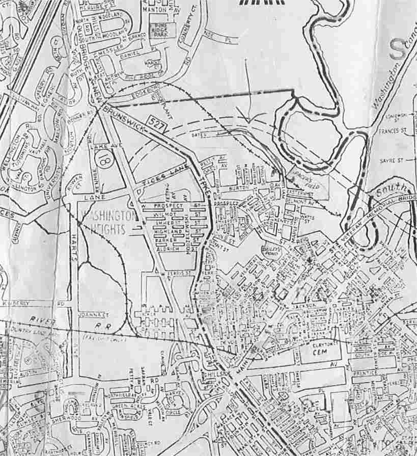
South River
 Map_SR.jpg From Fred Deibert’s “Rail
up the
Map_SR.jpg From Fred Deibert’s “Rail
up the
Serviss Branch
 MAP_RT18.jpg This is a great map as it shows where the Serviss Branch crossed over State Highway Route 18 in
Current NGS Maps
Historic NGS Maps
Photographic Maps